| Dartmoor |
| Dartmoor was designated one of the National Parks of England and Wales in 1951, the third national park to be created in England and Wales. It is an area of 953 sq.km (368 sq. miles) consisting of moorland and wooded valleys with granite tors dominating the landscape. |
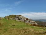
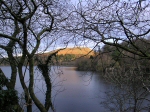
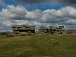
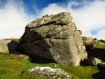
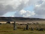
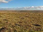
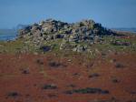
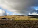
| It is the largest granite surface in England, the largest expanse of un-glaciated upland in Great Britain and the largest and highest upland in southern Britain. The highest points are Yes Tor, rising to 619 m/2,030 feet, and High Willhays, which climbs to 621 m/2,039 feet. 
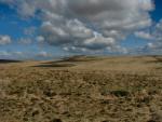
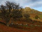
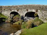
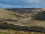
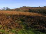
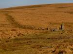
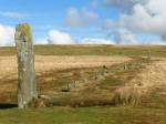
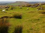
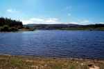
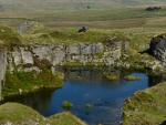
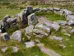
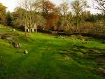
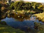
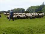
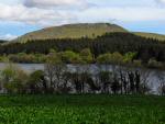
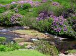
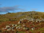
The public is able to roam freely on unenclosed, open moorland with some 
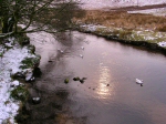
10 million visits being made each year. The soils are acidic, undisturbed 
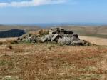
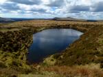
by intensive agriculture and the moor is exposed to strong winds and high 
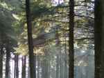
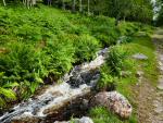
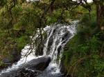
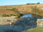
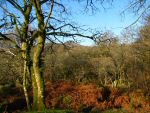
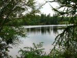
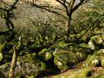
rainfall. There are areas of blanket bog, heath, grassland, valley woodlands and some enclosed farmland. All these factors make Dartmoor a haven for the walker and wildlife. |
| Click on thumbnails below for photograph |
| Dartmoor Snow | Leather Tor | Sharpitor | Stone Cross | Sharpitor | River Walkham |
| West Dart | Wistman's Wood | Newleycombe Lake | River Meavy | Combestone Tor | Sheepstor, Burrator |
| Belliver Forest | Dart, Two Bridges | Down Tor | Clearbrook | Shaugh Bridge | Sheepstor, Burrator |
| Avon, Shipley Bridge | Belliver | Great Staple Tor | Nr. Hexworthy | Plym, Nr. Cadover | Nr. Houndtor |
| Leather Tor | Naker's Hill | Nr. Burrator | Cross Gate | Sheepstor, Burrator | Shaugh Bridge |
| East Dartmoor | Fernworthty | Nr. Sharpitor | Nr. Merrivale | Sharpitor | Beardown Tors |
![]() |
![]() |
![]() |
![]() |
||
| Cowsic Valley | Combestone Tor |